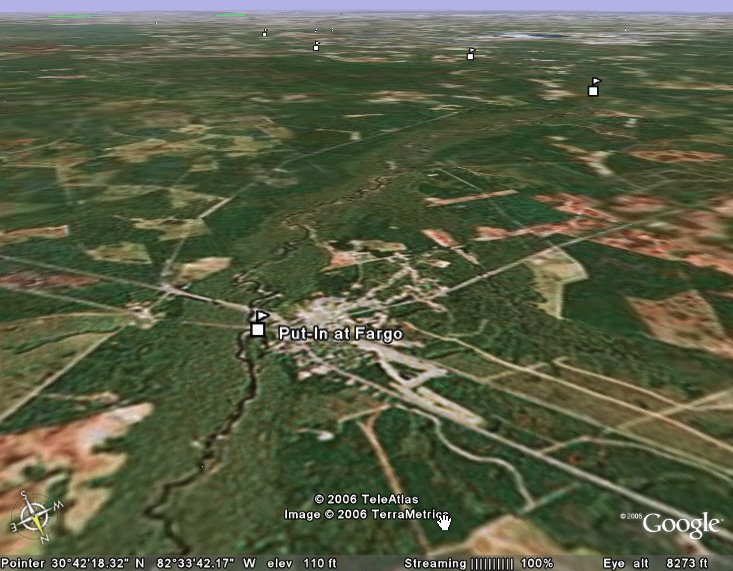
...as reported by DancesWithSandyBottomTuesday (Day25), SandyBottom traveled 70 miles down the Suwannee from Big Shoals before calling it a day at 4 AM on Wednesday.
Check out the new videos that Chief has posted at
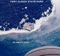
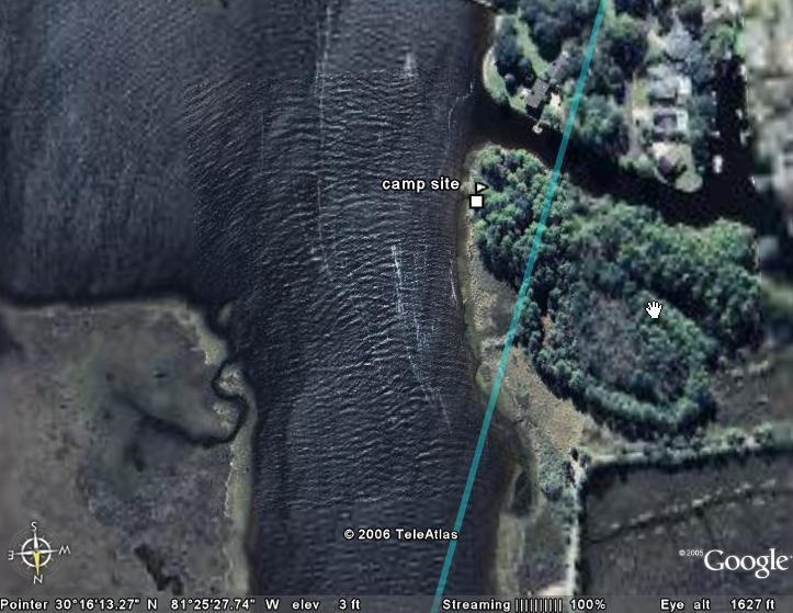
www.watertribe.com/ChallengeViewer/default.aspx. The one called "SandyBottom - with RiverJohn and DrKayak on the St. Marys River" is about 20 minutes in length; starts out on coastal waters and ends far upstream on the river. Two other videos shot by Chief document the portage from the St. Marys River over to the Suwannee River.
SandyBottom was planning on a long day, starting at 7:30 AM and going past midnight. She is currently paddling down the Suwannee with DrKayak and RiverJohn. By mid-day she was expecting to be passing under the highway 129 bridge where ManitouCruiser is waiting to record video footage of the SandyBottom, DrKayak and RiverJohn in action. Along the way, they would also resupply at White Springs, FL, (which is a call-it-in checkpoint), and also reach a checkpoint at Suwannee River State Park boat ramp. SandyBottom reported Monday night that she and her comrades are out of coffee and may stop at the 129 bridge or at White Springs long enough to re-stock.
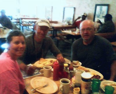
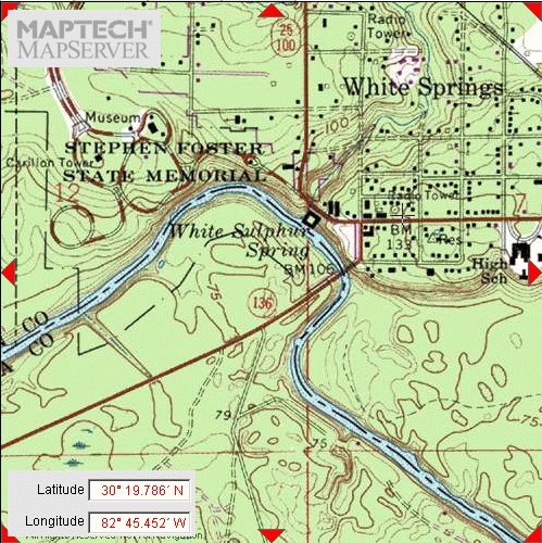
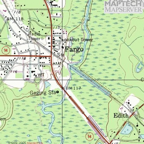
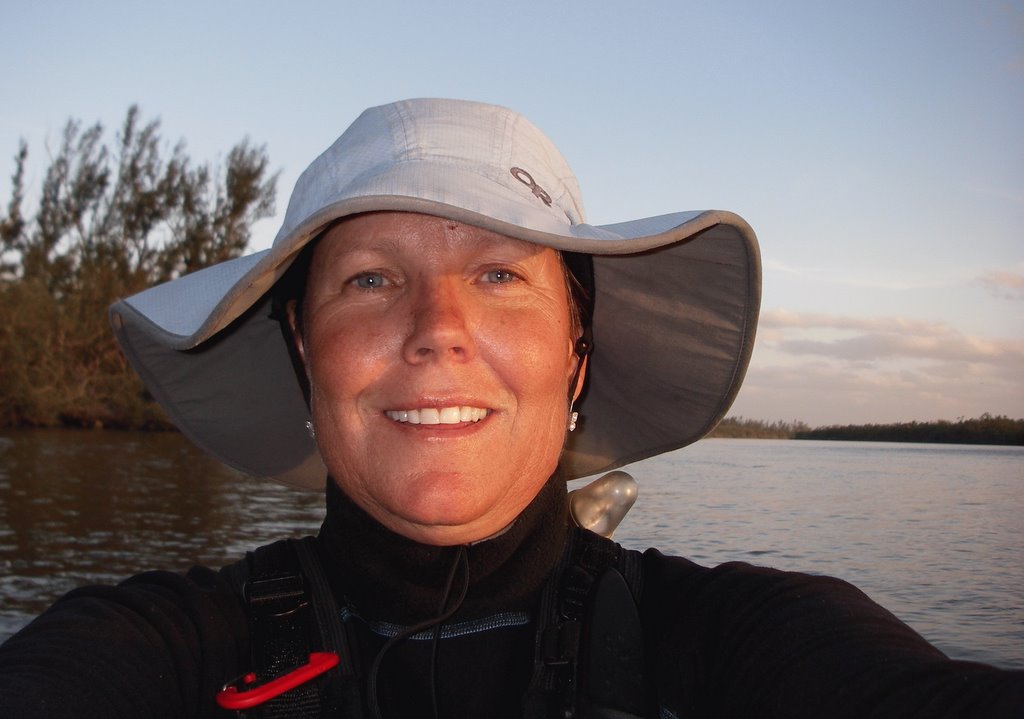
SandyBottom reported in at 10:15 AM to say that she was in White Springs at a grocery buying coffee and that she and DrKayak and RiverJohn had also had breakfast in White Springs. She sent a cellphone-camera photo taken at the breakfast.
Looks like they should have asked for a side order of "bath."

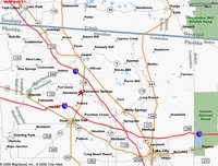
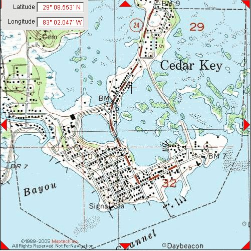
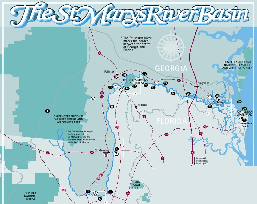
Here is a maptech view of White Springs, home of the Stephen Foster Museum.
Over the next twenty miles SandyBottom reported seeing six more alligators.
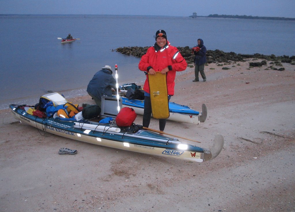
At 4:30 PM SandyBottom called in to report that "three amigos", as Chief calls them, had reached Suwannee Springs. On the bank of the river is the "Spirit of Suwannee Music Park and Campground". They were met there by a canoe carrying ManitouCruiser (MC) and the film crew. MC, et al. gave each of them goody bag containing essentials such as corn chips and (I think she said) hot fried chicken and steak sandwiches (?); anyway, it was a kind of 'happy meal'.
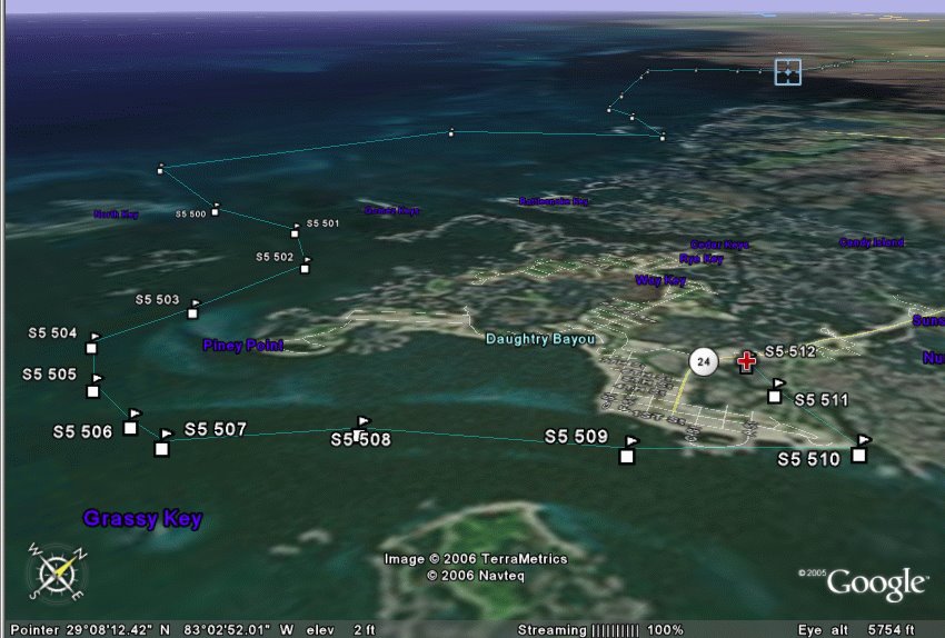
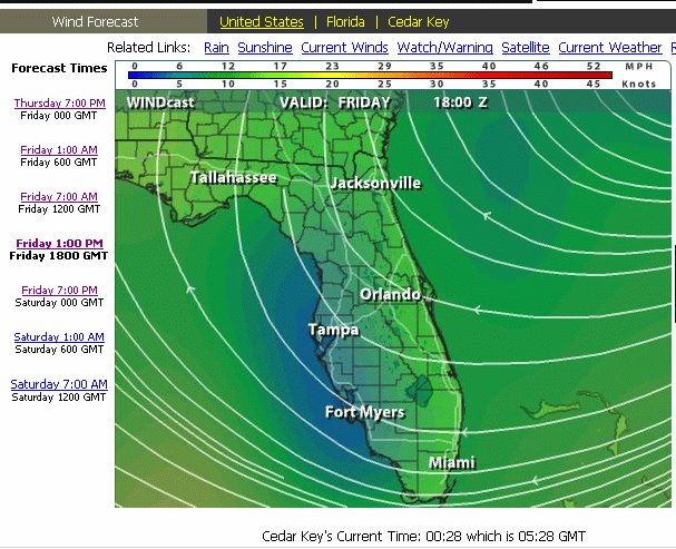
The immediate plan was to continue paddling until very late tonight. She said they hoped to reach Gulf waters by late Thursday and then arrive at Cedar Key (which is 20 miles down the coast) by Friday AM.
It turned out that the "three amigos" paddled through the night in pitch-black darkness and thick fog until 3 AM when it became difficult to stay wake. By that time the banks of the river were high and it was difficult to find a place to rest. It was also difficult to know which direction to paddle. The river makes tight loops so that the compass bearing of the correct course can be almost anything at any given point. There were fallen trees (strainers), fishing lines and stumps to avoid along the river banks as well as in the middle of the channel. Ultimately the three kayakers rafted together and drifted to try to avoid debris collisions while nodding off.
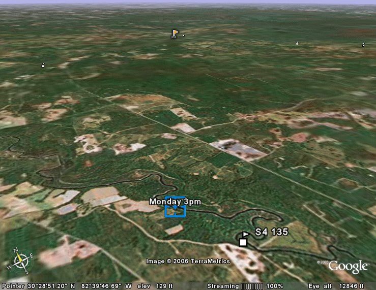
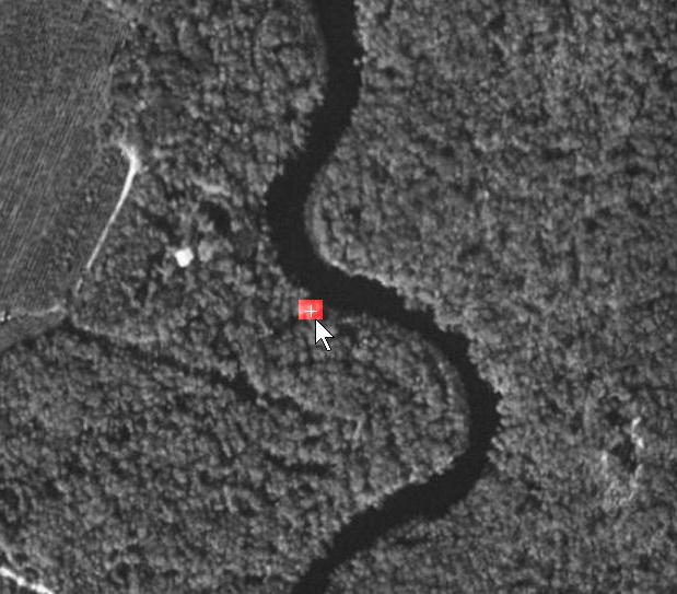
At about 4 AM they spotted a low point on a muddy river bank that allowed them to get out of their boats to sleep for two and a half hours on a slippery slope. At that point, which is near Charles Spring, they had traveled 69.7 miles downriver from Big Shoals.
Here is a little tribute to all the WaterTribe challengers through the years...
(With apologies to author Lowell George and to singer Linda Ronstadt...)
WaterTribe Willin'
I been whipped by the rain, driven by the flow
I'm damp and dirty, don't you know
But I'm still willin'
Out on the river late last night
I'd see the pretty gators in my headlight
sharks, manatees and gators
And I've paddled from Tampa to Key Largo
Even all the way around!
Sailed every kind of rig that's ever been made
Camped outta sight so I wouldn't be delayed
And if you give me charts, tides and time
And you show me a sign
And I'll be willin' to be movin'
And I've been kicked by the wind, flipped off the seat
Had my head stove in but I'm still on my feet
And I'm still willin'
And I struggled at times to reach that Big Marco
Baked by the sun every time I go to Big Marco
Ah but I'm still...
And I've paddled from Tampa to Key Largo
Even all the way around!
Sailed every kind of rig that's ever been made
Camped outta sight so I wouldn't be delayed
And if you give me charts, tides and time
And you show me a sign
And I'll be willin' to be movin'
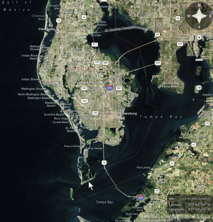
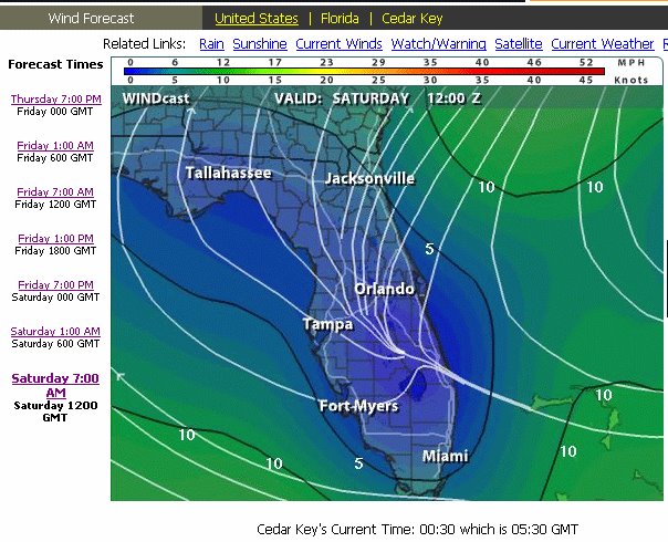
 After a shower and some good sleep, a good tide-favorable time to leave Cedar Key will be 10:30 AM on Friday (Day28). The distance to the finish line at Ft. DeSota will be 120 miles.
 Paddling about 3-4 miles off shore Friday night, SandyBottom and DrKayak found themselves in the middle of a fishing fleet, or "every fishing boat in Florida" as she described it. "...and they all appeared to be coming directly at us." I think some evasive maneuvering was involved; more on that later directly from SB and DrK. It's clear that it was very scary at the time.
 11:30 AM and then SB called in. At that point they were about 53.5 miles south of Mermaids' Landing, 26 miles north of Anclote Key, and about 67 miles north of Ft DeSoto.


